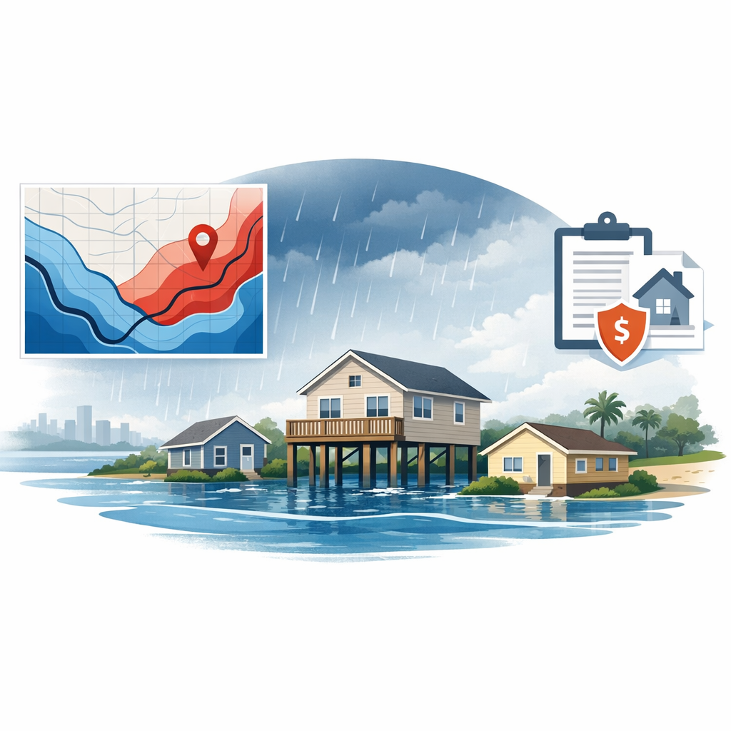
Flood Terminology Glossary: 60+ Key Terms Defined
Navigating the world of flood zones, FEMA maps, and flood insurance involves specialized terminology. This glossary defines more than 60 key terms used by lenders, title companies, insurance professionals, real estate agents, and homeowners.

Navigating the world of flood zones, FEMA maps, and flood insurance involves

---
A

## A
Alluvial Fan
A fan-shaped deposit of sediment formed where a stream flows from a steep mountain valley onto a flatter plain. Alluvial fans are often subject to unpredictable flooding, debris flows, and channel migration.
Approximate Study
A flood study methodology where FEMA identifies flood-prone areas using approximate methods (limited engineering analysis) without establishing Base Flood Elevations. Results in Zone A designation rather than Zone AE.
ASCE 24
The American Society of Civil Engineers' standard for flood-resistant design and construction. Referenced by building codes as the technical standard for construction in flood hazard areas.
B
Base Flood
The flood having a 1% chance of being equaled or exceeded in any given year. Also referred to as the 100-year flood or the 1% annual chance flood. The regulatory standard for FEMA floodplain management.

Base Flood Elevation (BFE)
The computed elevation to which floodwater is anticipated to rise during the base flood. Expressed in feet above a vertical datum (typically NAVD 88). Used to determine construction requirements and flood insurance rates.
Breakaway Wall
A wall designed to collapse under flood forces without damaging the elevated structure or foundation. Required in V zones for enclosed areas below the BFE. Must withstand a minimum of 10 psf and maximum of 20 psf.
Building Coverage
The portion of a flood insurance policy that covers the physical structure — walls, floors, foundation, electrical and plumbing systems, HVAC equipment, and permanently installed fixtures.
C
Coastal A Zone (CAZ)
The portion of Zone AE that is subject to wave action between 1.5 and 3 feet. Not a formal FEMA map designation but an important regulatory concept. ASCE 24 requires V-zone construction standards in the CAZ.

Coastal Barrier Resources System (CBRS)
Designated areas of coastal barriers where federal expenditures (including NFIP flood insurance) are restricted to discourage development. Properties in CBRS areas cannot obtain federal flood insurance.
Coastal High Hazard Area
Areas subject to high-velocity wave action (waves 3 feet or greater). Mapped as Zone V or VE on FIRMs.
Community Number
A six-digit number assigned by FEMA to identify each community participating in the NFIP. Used on flood determinations and insurance applications.
Community Rating System (CRS)
A voluntary NFIP program that recognizes and encourages community floodplain management activities that exceed minimum NFIP requirements. Participating communities earn flood insurance premium discounts of 5% to 45% for policyholders.
Conditional Letter of Map Revision (CLOMR)
FEMA's formal comment on whether a proposed project, if built as designed, would meet the criteria for a map revision. A pre-approval that does not change the effective map.
Contents Coverage
The portion of a flood insurance policy that covers personal property within the insured building — furniture, clothing, electronics, appliances, and other movable items.
D
Datum
A reference system for measuring elevations. The standard datum for FEMA flood mapping is the North American Vertical Datum of 1988 (NAVD 88). Older maps may use the National Geodetic Vertical Datum of 1929 (NGVD 29).
Detailed Study
A flood study methodology where FEMA conducts thorough hydrologic and hydraulic analyses to establish Base Flood Elevations and delineate floodway boundaries. Results in Zone AE designation.
Digital Flood Insurance Rate Map (DFIRM)
The digital version of FEMA's Flood Insurance Rate Map, available through FEMA's Map Service Center. DFIRMs use GIS technology for more precise mapping than older paper FIRMs.
E
Elevation Certificate (EC)
A form (FEMA Form 086-0-33) completed by a licensed surveyor, engineer, or architect that documents a building's elevation relative to the Base Flood Elevation. Used for insurance rating, LOMA applications, and compliance verification.
Emergency Program
The first phase of a community's participation in the NFIP. Provides limited insurance coverage at subsidized rates before the community's Flood Insurance Rate Map is completed. Succeeded by the Regular Program.
Enclosure Below BFE
Any area below the Base Flood Elevation that is enclosed by walls. In A zones, must have flood openings. In V zones, must have breakaway walls. Restricted to parking, building access, and storage.
Erosion
The gradual wearing away of land by water, wind, or other natural forces. Coastal erosion is a significant concern in V and VE zones, where shoreline retreat can undermine structures.
F
Federal Emergency Management Agency (FEMA)
The federal agency responsible for administering the National Flood Insurance Program, creating Flood Insurance Rate Maps, and coordinating disaster response. Part of the Department of Homeland Security.
FIRM (Flood Insurance Rate Map)
The official map created by FEMA that delineates flood hazard areas and risk zones for a community. Used for floodplain management, insurance rating, and flood determinations.
FIRM Panel
A single map sheet within a community's Flood Insurance Rate Map. Each panel covers a specific geographic area and is identified by a unique panel number and suffix.
Flood
A general and temporary condition of partial or complete inundation of normally dry land areas from overflow of inland or tidal waters, unusual and rapid accumulation of runoff, or mudflow.
Flood Certificate
See Standard Flood Hazard Determination Form (SFHDF).
Flood Determination
The process of identifying a property's flood zone designation based on FEMA's Flood Insurance Rate Maps. Required for all federally backed mortgage loans.
Flood Fringe
The portion of the floodplain outside the regulatory floodway. Development is permitted in the flood fringe if it meets elevation and construction standards.
Flood Hazard Boundary Map (FHBM)
An older, less detailed FEMA map that identified approximate flood hazard areas before detailed Flood Insurance Rate Maps were produced. Largely superseded by FIRMs.
Flood Insurance Study (FIS)
A comprehensive engineering study conducted by FEMA (or on FEMA's behalf) to identify flood hazard areas, establish Base Flood Elevations, and produce Flood Insurance Rate Maps for a community.
Flood Openings (Flood Vents)
Openings in enclosed areas below BFE that allow floodwater to enter and exit freely, equalizing hydrostatic pressure on walls. Required in A zones for enclosed areas below BFE. Must provide at least 1 square inch of opening per square foot of enclosed area.
Floodplain
Any land area susceptible to being inundated by flood waters from any source. In regulatory terms, usually refers to the area inundated by the 1% annual chance flood.
Floodproofing
Techniques used to reduce or prevent flood damage. Dry floodproofing seals the building to prevent water entry. Wet floodproofing allows water in but uses resistant materials and relocates valuables.
Floodway
The channel of a river or other watercourse and the adjacent land areas that must be reserved to discharge the base flood without cumulatively increasing the water surface elevation more than a designated height (typically 1 foot).
Force-Placed Insurance
Flood insurance purchased by a lender on behalf of a borrower who has failed to maintain required coverage. Typically much more expensive than a standard policy, with costs charged to the borrower.
Freeboard
The additional height above the BFE that a community requires for construction. Common freeboard requirements are 1 to 3 feet above BFE. Provides an additional margin of safety.
G
Grandfathering
A provision (being phased out under Risk Rating 2.0) that allowed property owners to maintain lower insurance rates when FEMA map changes placed their property in a higher-risk zone, as long as they maintained continuous coverage.
H
Highest Adjacent Grade (HAG)
The highest natural elevation of the ground surface prior to construction next to the proposed walls of a structure. Used in Zone AO to determine required elevation above grade.
Hydraulic Analysis
Engineering analysis of water flow behavior in channels and floodplains — including water depth, velocity, and extent of flooding. Used to determine BFEs and flood zone boundaries.
Hydrologic Analysis
Engineering analysis of the volume and timing of water flow in a watershed — including rainfall, runoff, and streamflow. Provides input data for hydraulic analysis.
I
ICC (Increased Cost of Compliance)
An NFIP coverage that provides up to $30,000 to help bring a substantially damaged or repetitively damaged building into compliance with current floodplain management regulations. Can fund elevation, demolition, relocation, or floodproofing.
L
Letter of Map Amendment (LOMA)
A letter from FEMA officially removing a property or structure from the SFHA based on the property being naturally (not by fill) at or above the BFE. Does not change the FIRM itself.
Letter of Map Revision (LOMR)
A letter from FEMA officially revising the effective FIRM based on physical changes that have altered flood hazard conditions (e.g., fill, levee construction, channel improvements).
Letter of Map Revision Based on Fill (LOMR-F)
A type of LOMR specifically for properties that have been elevated by engineered fill to or above the BFE. Changes the property's designation from SFHA to non-SFHA.
LiDAR (Light Detection and Ranging)
Remote sensing technology that uses laser pulses to measure ground elevation with high accuracy. Increasingly used by FEMA for flood mapping to create detailed elevation models.
Life of Loan (LOL) Monitoring
A service provided by flood determination companies that monitors FEMA map changes throughout the life of a mortgage and notifies the lender if a property's flood zone designation changes.
Lowest Adjacent Grade (LAG)
The lowest elevation of the ground surface adjacent to a building's walls. Used in determining compliance with BFE requirements.
Lowest Floor
The lowest floor of the lowest enclosed area of a building, including the basement. The elevation of the lowest floor relative to BFE is a primary factor in flood insurance rating.
M
Mandatory Purchase Requirement
The federal requirement that borrowers with federally backed mortgages on properties in SFHAs must purchase and maintain flood insurance. Established by the Flood Disaster Protection Act of 1973.
Map Service Center (MSC)
FEMA's online resource (msc.fema.gov) for accessing Flood Insurance Rate Maps, Flood Insurance Studies, and Letters of Map Change.
Mudflow
A river of liquid mud flowing down a hillside, typically caused by heavy rainfall on steep terrain with loose soil. Covered by NFIP flood insurance policies.
N
National Flood Insurance Act of 1968
The federal law that created the National Flood Insurance Program. Established the framework for community participation, flood mapping, and federally backed flood insurance.
National Flood Insurance Program (NFIP)
The federal program administered by FEMA that provides flood insurance to property owners in participating communities. Also establishes floodplain management standards and produces flood maps.
NAVD 88 (North American Vertical Datum of 1988)
The current standard vertical reference datum used for measuring elevations in FEMA flood mapping. Replaced the older NGVD 29.
NGVD 29 (National Geodetic Vertical Datum of 1929)
The older vertical reference datum used on many legacy FEMA maps. Being replaced by NAVD 88 on updated maps. Conversion between the two datums varies by location.
O
Otherwise Protected Area (OPA)
Areas within the Coastal Barrier Resources System that are protected through other conservation or land management programs. Subject to the same federal expenditure restrictions as CBRS areas.
P
Preferred Risk Policy (PRP)
A lower-cost NFIP policy historically available for properties in moderate-to-low risk zones (B, C, X). Being replaced by property-specific rating under Risk Rating 2.0.
Pre-FIRM Building
A building constructed before the effective date of the community's initial Flood Insurance Rate Map. May qualify for certain insurance subsidies (being phased out under Risk Rating 2.0).
Post-FIRM Building
A building constructed on or after the effective date of the community's initial Flood Insurance Rate Map. Must comply with floodplain management regulations in effect at the time of construction.
R
Regular Program
The second phase of a community's participation in the NFIP, after the Flood Insurance Rate Map has been published. Provides full insurance coverage at actuarial rates.
Repetitive Loss Property
An NFIP-insured property that has had at least two paid flood claims of more than $1,000 each in any 10-year period. These properties are prioritized for mitigation and may face higher insurance premiums.
Risk Rating 2.0
FEMA's updated methodology for setting NFIP flood insurance premiums, implemented in October 2021 (new policies) and April 2023 (renewals). Uses more granular risk factors including flood frequency, flood types, distance to water, and property characteristics.
S
Scour
The erosion of soil around a building's foundation caused by flowing water. Particularly significant in coastal areas (V and VE zones) where wave action can undermine pile foundations.
Severe Repetitive Loss Property
An NFIP-insured property that has had at least four paid flood claims exceeding $5,000 each, or at least two claims with cumulative payments exceeding the property's fair market value. Subject to the highest insurance premiums and prioritized for mitigation.
Special Flood Hazard Area (SFHA)
The land area covered by the 1% annual chance flood. Shown on FIRMs as Zone A (all variants) and Zone V (all variants). Triggers mandatory flood insurance for federally backed mortgages.
Standard Flood Hazard Determination Form (SFHDF)
The official federally prescribed form (OMB No. 1660-0040) used to determine whether a property is in a Special Flood Hazard Area. Also known as a flood certificate or flood determination.
Storm Surge
An abnormal rise in sea level caused by a storm's winds pushing water toward shore. The primary source of coastal flooding during hurricanes and tropical storms.
Substantial Damage
Damage of any origin sustained by a structure where the cost of restoring the structure to its pre-damage condition equals or exceeds 50% of the market value of the structure before the damage occurred. Triggers the requirement to bring the entire structure into compliance.
Substantial Improvement
Any reconstruction, rehabilitation, addition, or other improvement to a structure where the cost equals or exceeds 50% of the market value of the structure before the improvement. Triggers full compliance requirements.
V
V Zone
See Coastal High Hazard Area. Zones V and VE on FEMA maps designating areas subject to coastal flooding with wave action of 3 feet or more.
W
Waiting Period
The standard 30-day period between purchasing an NFIP flood insurance policy and when coverage takes effect. Exceptions exist for policies purchased in connection with a loan closing or map revision.
Write Your Own (WYO) Program
A cooperative arrangement between FEMA and private insurance companies that allows participating insurers to write and service NFIP flood insurance policies under their own names. The federal government retains the financial risk.
Need Help Understanding Your Flood Zone?
FloodCert.org makes flood zone determinations simple and instant. Get a certified flood certificate in seconds — and use this glossary to understand exactly what it means.