
FEMA Map Update Alerts: What You Need to Know
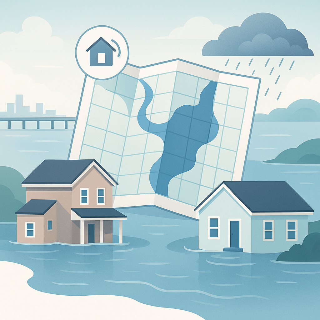
FEMA flood maps aren't static. They change — sometimes dramatically — and when they do, the ripple effects hit mortgage lenders, title companies, homeowners, and real estate professionals all at once. A property that was in Zone X yesterday could be in Zone AE tomorrow, triggering mandatory flood insurance requirements, affecting property values, and creating compliance headaches.
Staying ahead of these changes isn't optional. It's a regulatory requirement for lenders and a professional obligation for anyone involved in real estate transactions.
This guide explains how FEMA map updates work, what triggers them, how to monitor them, and what to do when a change affects your properties or portfolio.
How FEMA Flood Maps Work (Quick Refresher)
FEMA's Flood Insurance Rate Maps (FIRMs) are the official source for flood zone designations across the United States. These maps divide communities into flood zones based on risk levels:
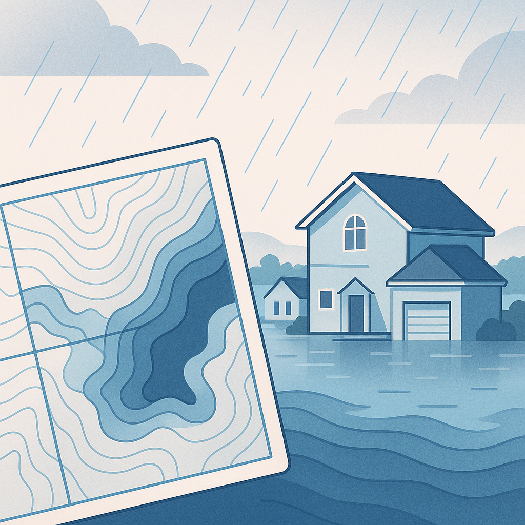
- Special Flood Hazard Areas (SFHAs): Zones A, AE, AH, AO, V, VE — areas with a 1% or greater annual chance of flooding (the "100-year floodplain")
- Moderate risk zones: Zone X (shaded) — 0.2% annual chance of flooding
- Minimal risk zones: Zone X (unshaded) — areas outside the 100-year and 500-year floodplains
- Undetermined risk: Zone D — areas where flood risk hasn't been analyzed
These designations directly determine whether flood insurance is mandatory (for federally backed mortgages in SFHAs) or optional.
Why Maps Change
FEMA flood maps are based on hydrological studies, topographic data, and engineering analyses. When the underlying conditions or data change, the maps need to be updated. Common triggers include:

New or Updated Flood Studies
FEMA periodically commissions new flood studies for communities. These studies use current data — updated topography (often from LiDAR surveys), revised rainfall statistics, and improved hydraulic models — to reassess flood risk. A new study can significantly change zone boundaries.
Physical Changes to the Landscape
Development, construction, erosion, and natural events alter the terrain:
- New construction upstream can increase runoff and expand flood zones downstream
- Levee construction or certification can reduce flood zones in protected areas
- Channel modifications (widening, deepening, rerouting) change water flow patterns
- Erosion and land subsidence can increase flood risk over time
- Major storms can reshape waterways and deposit sediment
Letters of Map Change (LOMCs)
Individual property owners and communities can request changes to FEMA maps:
- LOMA (Letter of Map Amendment): Removes a property from an SFHA based on elevation data showing it's above the Base Flood Elevation. Doesn't change the map — just the determination for that specific property.
- LOMR (Letter of Map Revision): Formally revises the map based on new data, often related to construction projects, channel improvements, or new studies.
- LOMR-F (Letter of Map Revision Based on Fill): Revises the map for a property elevated by fill material.
Community Annexations and Boundary Changes
When municipal boundaries change, FEMA panels may need to be updated to reflect which community has jurisdiction — affecting Community Identification Numbers (CIDs) and NFIP participation status.
The Map Update Process: From Study to Effective Date
FEMA map updates don't happen overnight. The process has several stages, each with implications for professionals:
Stage 1: Preliminary Map Issuance
FEMA issues Preliminary FIRMs showing proposed changes. These maps are publicly available and represent FEMA's best current assessment, but they're not yet official.
What to do: Review preliminary maps for properties in your portfolio. If properties are moving into SFHAs, start planning for insurance requirements. Preliminary maps are a strong indicator of what's coming.
Stage 2: Community Review and Appeal Period
Affected communities and property owners have a 90-day appeal period to challenge the proposed changes. Appeals must be based on scientific or technical data.
What to do: If a property you're involved with is incorrectly mapped in the preliminary FIRM, this is the time to submit data (elevation certificates, survey data) to correct it. After this window closes, the process becomes much more difficult.
Stage 3: Letter of Final Determination (LFD)
FEMA issues a Letter of Final Determination to the community, establishing the effective date of the new maps — typically 6 months after the LFD.
What to do: This is your definitive planning date. You know exactly when the new zones take effect. Update your processes, notify affected clients, and prepare for insurance requirement changes.
Stage 4: Effective Date
The new FIRMs become official. All flood determinations from this date forward must use the new maps. Lenders must comply with the new zone designations for new and existing loans.
What to do: Ensure your flood determination provider is using the current maps. Re-pull flood certs for any in-process loans in affected areas. Begin compliance actions for existing loans where properties have moved into SFHAs.
What Map Changes Mean for Your Business
For Mortgage Lenders
New loans: If a property moves into an SFHA, the borrower must obtain flood insurance before closing. If it moves out of an SFHA, mandatory insurance is no longer required (though it's still recommended).
Existing loans (servicing portfolio): Federal regulations require lenders to monitor their portfolios for map changes. When a property moves into an SFHA, the lender must notify the borrower and ensure flood insurance is obtained within 45 days. Failure to do so can result in regulatory penalties and force-placed insurance costs.
Life-of-loan tracking: This is why life-of-loan monitoring services exist. Manually tracking FEMA map changes across a portfolio of thousands of loans is impractical. Automated monitoring through platforms like FloodCert.org alerts you when a map change affects your portfolio.
For Title Companies
Closing accuracy: A map change that takes effect between the flood determination date and the closing date can create compliance issues. Always verify the effective date of the FIRM used in the determination.
Client communication: When you become aware of upcoming map changes, proactively informing your lender and agent clients demonstrates value and expertise.
For Real Estate Professionals
Disclosure obligations: Many states require disclosure of known flood risks. An upcoming map change that will place a property in a flood zone may need to be disclosed even before the new map is effective.
Pricing impact: Properties moving into SFHAs may see value adjustments due to the added cost of mandatory flood insurance ($700-$3,000+/year under Risk Rating 2.0).
Buyer counseling: Help buyers understand that flood maps change. A property in Zone X today could be in Zone AE after the next map update. Encourage buyers in moderate-risk areas to consider voluntary flood insurance.
How to Monitor FEMA Map Changes
FEMA's Official Resources
FEMA Flood Map Service Center (MSC): msc.fema.gov is the official source for current and preliminary flood maps. You can search by address, community, or map panel.
FEMA Map Change Viewer: This tool shows areas where maps are being updated, including preliminary maps and Letters of Final Determination.
Community Status Book: Lists every NFIP-participating community and the effective date of their current FIRMs. Useful for verifying that a flood determination is based on current maps.
Automated Monitoring with FloodCert.org
Manually checking FEMA resources for every property in your portfolio is impractical. FloodCert.org provides automated map change monitoring that:
- Tracks your portfolio continuously against FEMA map updates
- Alerts you immediately when a preliminary or final map change affects any of your properties
- Provides updated flood determinations automatically when new maps take effect
- Generates compliance documentation showing when you were notified and what actions were taken
This turns map change monitoring from a reactive scramble into a proactive, automated process.
Key Dates to Watch
FEMA doesn't have a fixed schedule for map updates, but certain patterns are predictable:
- Post-disaster map updates typically begin 12-24 months after major hurricanes or flood events
- Community map modernization projects are published on FEMA's Risk MAP program schedule
- LOMCs are processed on a rolling basis (typically 60-90 days from application)
What to Do When a Map Change Affects Your Properties
Immediate Steps
-
Verify the change. Confirm the new flood zone using the updated FIRM. Pull a new flood determination through FloodCert.org to get the definitive, current zone.
-
Assess the impact. Is the property moving into or out of an SFHA? What are the insurance implications?
-
Notify affected parties. Lenders must notify borrowers of zone changes. Title companies should alert their lender clients. Real estate agents should inform buyers and sellers of active transactions.
If a Property Moves INTO an SFHA
- For new loans: Flood insurance is mandatory before closing. Factor in the time needed to obtain a policy.
- For existing loans: The servicer must notify the borrower and ensure insurance is obtained within 45 days. Force-placed insurance kicks in if the borrower doesn't comply.
- For property owners: Shop flood insurance immediately. Don't wait for the force-placed notice — force-placed policies are significantly more expensive.
If a Property Moves OUT of an SFHA
- Mandatory insurance is no longer required for federally backed mortgages. However, the borrower may choose to keep coverage.
- Consider keeping insurance. FEMA maps aren't perfect, and flood risk doesn't disappear because a line moved on a map. Voluntary flood insurance in Zone X is relatively affordable.
- Document the change. Update your records and retain the previous determination for audit purposes.
If You Disagree with the New Map
- LOMA/LOMR process: If you have elevation data showing a property is above the BFE despite being mapped in an SFHA, you can apply for a Letter of Map Amendment. FloodCert.org can help identify properties that may qualify.
- Community appeal: During the appeal period for preliminary maps, submit scientific or technical data challenging the proposed zone designation.
Building a Proactive Map Monitoring Strategy
Don't wait for map changes to surprise you. Build a proactive strategy:
1. Subscribe to Automated Alerts
Use FloodCert.org's monitoring service to receive automatic notifications when FEMA issues preliminary maps, Letters of Final Determination, or effective map changes for properties in your portfolio.
2. Review Preliminary Maps Quarterly
Set a quarterly reminder to review FEMA's preliminary map data for your key markets. This gives you months of advance notice before changes become effective.
3. Educate Your Team
Ensure your processors, underwriters, and loan officers understand what a map change means and what actions are required. A quick reference guide (zone changed → required actions) can prevent compliance gaps.
4. Communicate with Clients
Be the first to tell your clients about upcoming map changes. This positions you as a knowledgeable partner and gives them time to prepare — rather than scrambling at closing.
Stay Ahead of the Map
FEMA map changes are inevitable. New studies, new data, and changing landscapes mean the maps will continue to evolve. The professionals who thrive are the ones who see changes coming and act proactively — not the ones who discover a zone change the day before closing.
FloodCert.org makes map monitoring automatic. Our platform tracks FEMA map changes continuously and alerts you when your properties are affected. Combined with instant flood determinations, you always have current, accurate flood zone data at your fingertips.
Visit FloodCert.org to set up automated map change alerts for your portfolio. Don't let a FEMA map update catch you off guard.
FloodCert.org provides instant FEMA flood zone determinations and automated map change monitoring for mortgage lenders, title companies, and real estate professionals. Stay current at floodcert.org.